WORLD NEWS
6,000 Seized Records Map Hidden Routes to Mexico’s Parrot Trafficking, Not a Direct Map of the Crime
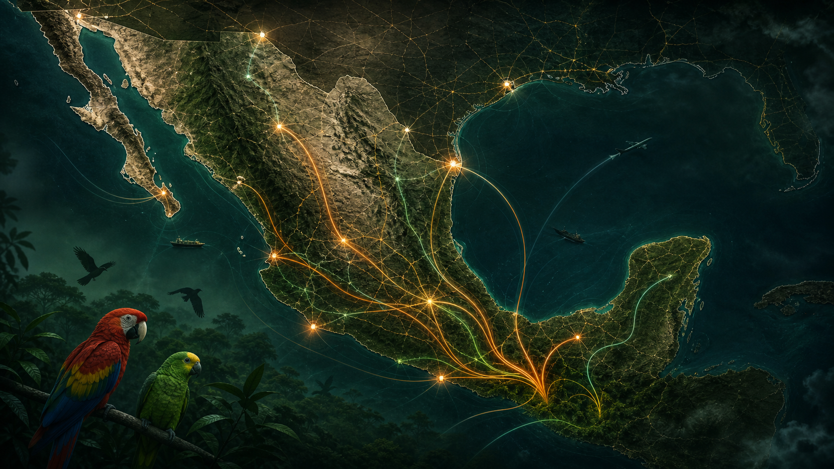
Researchers combined more than 6,000 records of parrot confiscations from Mexico from 1997 to 2024 with the species’ habitat and road network to predict transport corridors with a high trafficking risk. The results were published in PNAS on August 24, creating a tool for validated law enforcement officials to view risk zones by species and region.
This map is not a real-time view of the actual movement of criminals. Since this is a model that is influenced by the location of the seizure and the intensity of reporting and crackdowns, it should not equate specific roads or local residents with crimes.
What data did the researchers use?
The researchers analyzed nearly 30 years of confiscation records and the distribution of 20 native Mexican parrot species. With wild populations as the starting point and confiscation sites as the destination, the national road network was calculated like an electric circuit. The more roads there are and the more connected the city is, the more likely it is to travel.
What did you see new?
Over time, confiscation sites appeared even in large cities hundreds of kilometers away from their original habitats. This is a long-distance distribution network signal that is difficult to explain solely by accidental capture in a nearby village. In particular, large and conspicuous species such as macaws and Amazon parrots continue to be targeted.
What happened after the 2008 ban?
Mexico banned the capture and trade of native parrots in 2008. The study also looked at changes before and after the ban and during the COVID-19 period. However, it cannot be concluded that the total actual trafficking volume has increased or decreased based solely on changes in the number of seizures. This is because as laws and publicity change, reporting and crackdowns also change.
Why do we restrict public maps?
Once the exact bottlenecks and enforcement priorities are revealed, they can be exploited by traffickers to reroute. So detailed tools are provided to law enforcement officers who have verified their identity. The important conclusion for the general reader is not to single out any one road, but rather that older seizure records can be used for proactive enforcement.
What are the limits and next steps?
Data does not include transactions that were not confiscated, and differences in enforcement capacity by region may also bias the results. Researchers are working to analyze the genes of the confiscated birds to more accurately link their origin. In the future, we need to verify the prediction rate with actual crackdown results and check whether it can be applied to other trafficking, such as timber or marine life.