WORLD NEWS
Ripples above Hurricane Simon show why an offshore storm still matters
On October 14, NASA highlighted satellite observations from October 11 showing ripples in the upper atmosphere above Hurricane Simon.
These are past observations of waves in air, not its current strength, a confirmed landfall track or gravitational waves in spacetime.
What rippled above the storm?
The NOAA-21 nighttime image shows waves carried by airglow, the faint light emitted by gases high in the atmosphere. NASA explains how heat released around the hurricane’s eye drives strong rising air that sends waves farther upward. Here gravity relates to the restoring force acting on displaced air. Despite the similar name, atmospheric gravity waves are different from the spacetime waves discussed in astronomy.
Why do wind speed and observation time belong together?
NASA says Simon’s sustained winds reached 250 km/h on October 11. Around 20:30 UTC that day, when Suomi NPP took its daytime image, winds were approximately 210 km/h and the eye was roughly 50 km offshore. NHC’s October 11 Discussion 18 also describes a weakening Category 4 hurricane near high terrain. Mixing a daily peak with a particular image time makes the figures appear inconsistent. The eye’s distance likewise describes that moment, not a position maintained afterward.
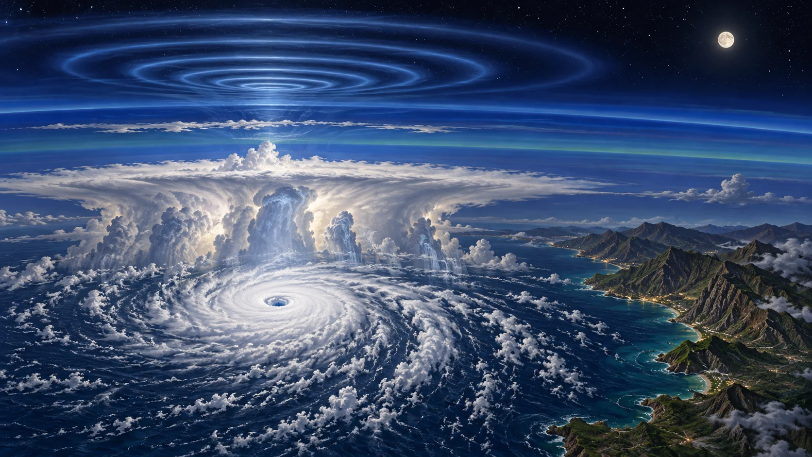
Why are these ripples not always visible?
Upper-atmosphere winds can dissipate the waves before they reach higher layers. The sensor detects faint airglow but also reflected moonlight, which can obscure it. NASA says limited lunar illumination helped the ripples stand out that night. A clearer image does not by itself establish that the storm is stronger or that the phenomenon has occurred for the first time.
Why does remaining offshore not remove coastal danger?
NHC’s account warned that even without an immediate direct landfall, the inner core brushing the coast could produce hurricane conditions. The Weather Channel’s October 14 coverage also confirms danger along southwestern Mexico. That independent coverage is not a separate measurement of the upper-air waves. NASA describes very low confidence in the October 13 path and intensity forecasts, so we do not reproduce a fixed landfall date. Current safety decisions require the latest NHC, Mexican weather-service and local evacuation guidance; neither this observation report nor its generated illustration is a forecast map.
Primary sources and independent checks
Observation source: October 11 images, timed wind values, air waves, moonlight and forecast limits: NASA Earth Observatory: 14 October 2026
Contemporaneous weather authority: terrain, Category 4 and coastal danger; not a current warning: NHC: Simon Discussion 18, 11 October 2026
Independent weather coverage: Mexican coastal danger, not a separate upper-air wave measurement: The Weather Channel: 14 October 2026
Read in other languages
한국어 · English · Español · 日本語 · Tiếng Việt