WORLD NEWS
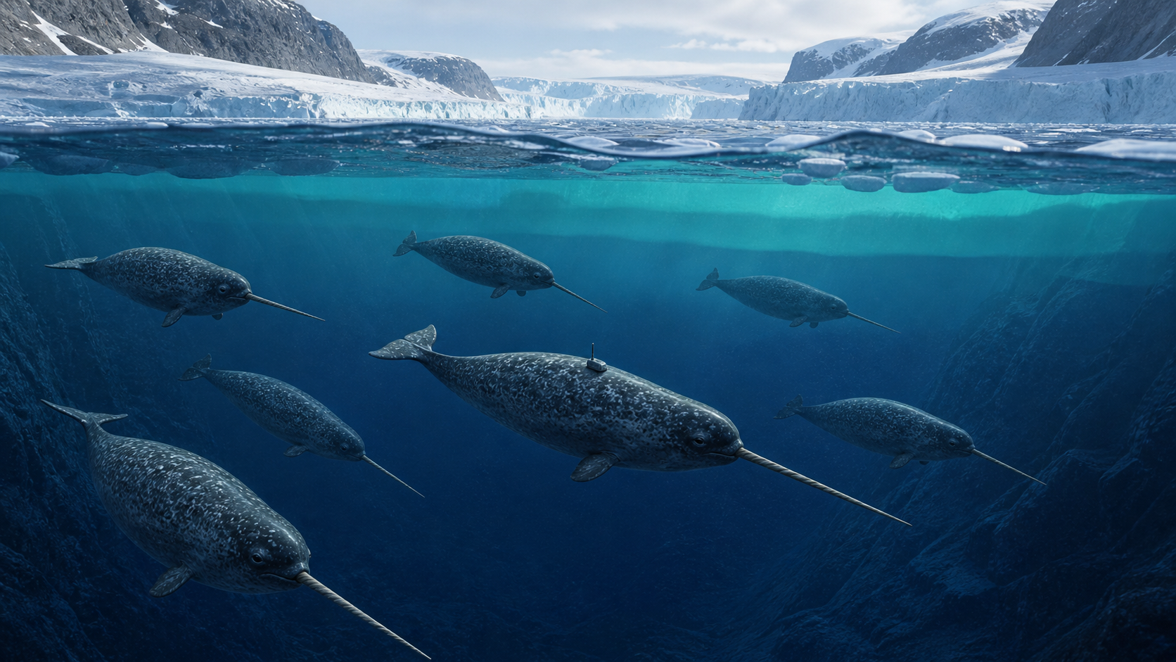
Six narwhals measured waters deeper than 1,500 metres, revealing Atlantic water deep inside East Greenland
Six narwhals equipped with sensors collected 2,060 water temperature, salinity, and depth data from a depth of more than 1,500 meters in the Scoresbysund Fjord, East Greenland. By combining this data with over 2,200 existing observations, the researchers showed that warm, salty Atlantic Intermediate Water reaches deep basins about 300 km from the coast.
Narwhals do not directly measure how much ice has melted. The model combines six migration data from 2017 to 2020 with historical observations from 1960 to 2021, and the results refine the pathways through which warm water can accelerate glacier melt.
What data did the whale collect?
CTD sensors attached with the help of local hunters measured water temperature, salinity and depth. The sensors operated for 85 to 332 days, and the research vessel naturally traveled deep into the fjord, where it was difficult to enter due to sea ice. Thanks to this, we were able to obtain data on water depth and season where there were large observation gaps.
Why is Atlantic Water important?
Beneath the cold, relatively fresh polar surface waters lie the warmer, saltier Atlantic Intermediate Waters. When this water reaches deep fjords and fore-glacier basins, it can warm submerged glacier faces. The study modeled a thickening of this layer and a thinning of the polar index layer.
What do warming numbers mean?
From the combined data, water temperatures in this region were estimated to have increased by an average of about 0.047°C per year between 1960 and 2021. This does not mean that it rises at the same rate every short year, but rather a long-term slope. Observation points and depths vary from era to era, so the spatial correction and uncertainty of the model must be considered together.
Why was research ship data alone insufficient?
Scoresbysund is one of the largest fjord systems in the world and due to sea ice and distance, ship observations are rare. Narwhals repeatedly pass through the channels and depths they normally use. Using animals as an observation platform reduces gaps, but it also has the limitation that their movement paths are not a random sample.
What is the next confirmation
Follow-up studies should increase sensor data for other years, individuals, and seasons and link them to observations of melt rates and ocean currents across the glacier front. We also need to compare whether climate models properly reproduce Atlantic water inflow depth and freshwater changes. The significance of this result is that, for the first time, previously inaccessible paths were filled in tightly.
Primary sources and independent checks
Science Advances original paper
University of Copenhagen research release
NOAA World Ocean Database used for independent historical profiles