WORLD NEWS
Sentinel-3C’s first Earth data show progress, while commissioning continues
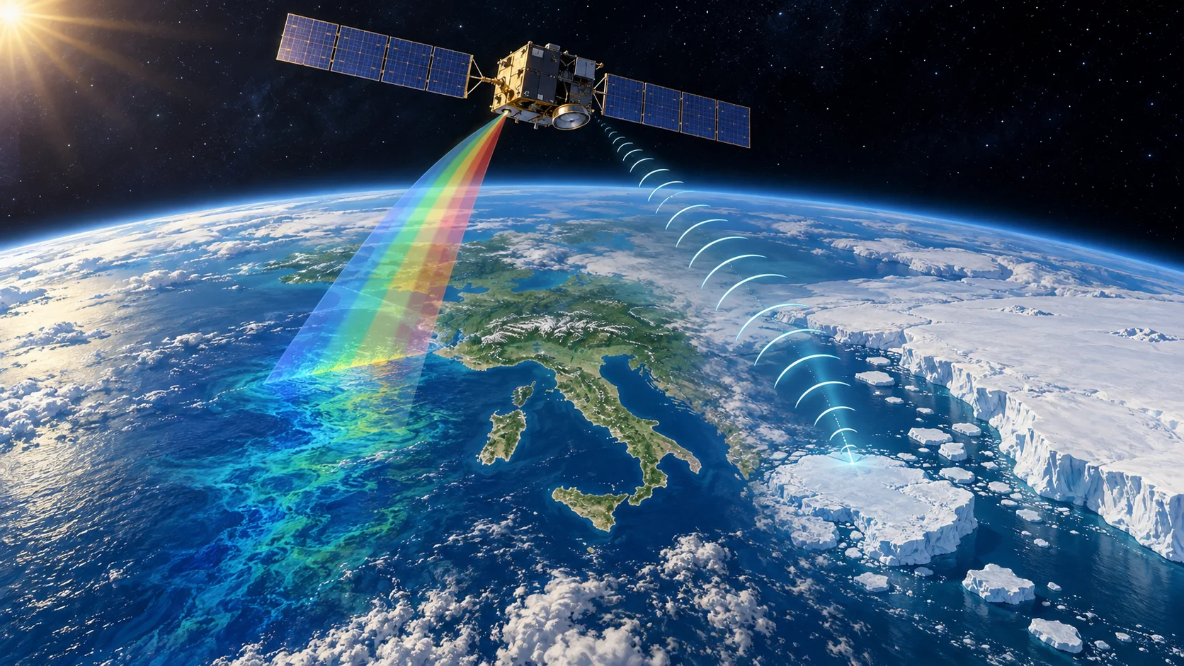
Europe’s Sentinel-3C satellite has returned first images of Italy, the Arctic and the Caribbean, plus height measurements over Greenland’s ice and the sea.
ESA released these early results on October 8 and Copernicus highlighted them again on October 13; they do not establish completed routine operations or a new long-term climate trend.
How do images differ from height measurements?
The Ocean and Land Colour Instrument, OLCI, records images of land and sea. The Synthetic Aperture Radar Altimeter, SRAL, measures surface height by timing a signal’s return. Brighter water in a picture and a change in actual sea level are different questions. Combining complementary observations can improve monitoring of oceans, vegetation and ice, but one first image cannot measure the rate of sea-level rise or ice loss.
When were the observations made?
The Caribbean image was taken on September 29; Italy and the Canadian Arctic were imaged on September 30. Greenland elevation observations cover September 30 to October 4. ESA says the ice-height tracks match a reference terrain model closely and the sea-height results are comparable with an existing multimission product. These are early checks of instrument performance. A recent republication does not move the observation date to October 13.
Why is this not full routine operation?
In ESA’s October 8 release, the satellite was still in commissioning, when instruments are checked and calibrated, with about five more months planned. First observations from the sea and land surface temperature radiometer, SLSTR, were still forthcoming at that point. It would therefore be premature to say all instruments and data products are already in routine service. That duration is a plan rather than a guaranteed completion date, requiring follow-up status checks.
What comes next?
After commissioning, Sentinel-3C is intended to continue the existing Sentinel record of oceans, land, ice and atmosphere. Meaningful comparisons require consistently calibrated observations accumulated over time. Independent explanatory coverage also separates early acquisitions from a finished service or long-term trend. Watch for first temperature-instrument data, calibration results and the operational handover announcement. The first images are best understood as evidence of preparation for that much longer monitoring task.
Primary sources and independent checks
Agency primary report: image dates, height comparisons, commissioning and pending temperature data: European Space Agency: 8 October 2026
Official October 13 republication date; not a new observation or independent measurement: Copernicus Sentinel Online: 13 October 2026
Independent explanation: instrument roles, observation timeline and limits; no separate satellite measurement: iTechGuides: 9 October 2026
Read in other languages
한국어 · English · Español · 日本語 · Tiếng Việt