WORLD NEWS
Typhoon Saudel weakened over land, then redeveloped at sea — heavy-rain risk for southeastern China
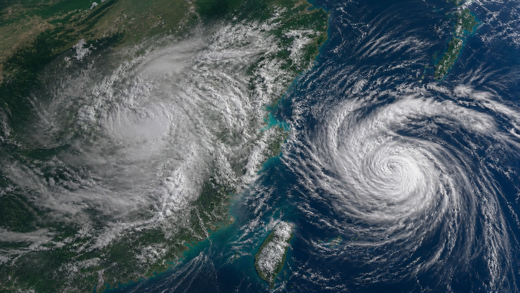
Typhoon No. 18, Saudel, which landed in Zhejiang Province, China on August 28 and weakened to a tropical depression, emerged into the South China Sea and developed into a tropical storm-level typhoon again in the early morning of September 1. China’s National Meteorological Center kept the same name and number, and warned of the risk of strong winds and heavy rain in Fujian, Zhejiang, and Guangdong.
This does not mean that Sadel completely disappeared and was reborn as a separate typhoon. This is an example of a cyclonic eddy remaining on land being reorganized by gaining energy from the warm ocean, and its path and intensity forecast may continue to change.
In what order did it develop again?
Sadel made landfall off the coast of Zhejiang Province on the morning of August 28 and weakened to a tropical depression that night. China’s National Meteorological Center stopped assigning numbers and issuing typhoon blue warnings on the afternoon of August 30. However, the residual eddy was maintained, and after coming out to sea near Hainan on August 31, it passed through a tropical depression and became a tropical storm again in the early morning of September 1.
Why did you get your strength back from the sea?
On land, ground friction disrupts wind rotation and reduces water vapor supply. Conversely, when residual eddies move into warmer oceans, friction is reduced and they can regain a supply of heat and water vapor. The Korea Meteorological Administration explained that although this type of recurrence is rare, it is a phenomenon that has occurred in the past.
Where and what dangers are forecast?
As of September 1, strong winds were expected in the South China Sea, Taiwan Strait, and southeastern China’s coast. Heavy rain is forecast in parts of Fujian, Zhejiang, Guangdong, Jiangxi and Hainan, and areas that overlap with previous rain may face a greater risk of landslides and flooding. Actual impacts should be checked against the latest warnings from local weather authorities.
How should we read the recurrence of the typhoon?
The fact that the typhoon number and name were maintained means that meteorological authorities judged it to be a continuation of the same circulation system. However, even if the name is the same, the structure and intensity before landfall and after reemergence may be different. Past maximum wind speeds or damage scale should not be directly applied to current risk.
What we don’t know yet and what’s next
Its intensity and course vary depending on water temperature in the South China Sea, differences in wind height, and interaction with land. You should also check the latest location and intensity of the Central Meteorological Observatory of China, the Hong Kong Observatory, and the Japan Meteorological Agency, as well as the evacuation and traffic control of each local government. The figures and scope in this article are based on the announcement on September 1.