WORLD NEWS
Tidal-wetland loss jumped eightfold beyond 9 mm of annual sea-level rise
A study combining about two decades of global satellite and sea-level observations found a sharp threshold in salt-marsh and mangrove loss when relative sea-level rise exceeded 9 mm per year.
Above that threshold, the probability of accelerating loss exceeded 92% and the rate of area loss increased eightfold.
What 9 mm per year means
The measure is relative sea-level rise, which combines ocean height with local land subsidence or uplift. The team compared global wetland-change maps with satellite altimetry, tide gauges and vertical-land-motion data.
Marshes and mangroves responded differently
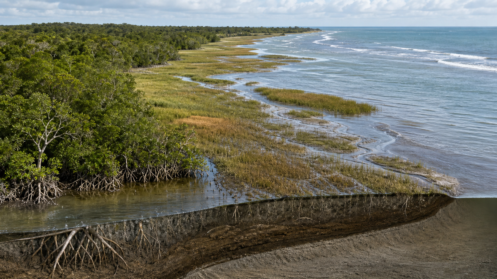
Salt marshes declined gradually before the threshold, while mangroves remained comparatively stable and then lost area abruptly after it was crossed. The threshold for direct inundation was about 8 mm per year; sediment buildup and landward movement provided only partial extra buffering.
Why coastal management changes
Tidal wetlands reduce storm-surge energy and store carbon and biodiversity. Places approaching the threshold need earlier attention to sediment supply, room for landward migration, barriers and land use. Buildings and levees can remove the wetland’s natural escape route.
It is not a universal law for every coast
The 9 mm figure is a statistical global threshold. Tidal range, sediment, storms, aquaculture, urban development and restoration can change local outcomes. The study analyzed past area change; it did not predict an exact disappearance date or future damage bill for a named wetland.
What to verify next
Local relative sea-level trends should be tracked together with structures that block wetland migration. Long records must test whether the nonlinear change repeats and how much restoration or sediment management can delay it.
Official Primary Sources
Nature Communications: observed global tidal-wetland loss thresholds