WORLD NEWS
El Niño has a 97% chance of lasting into spring 2027
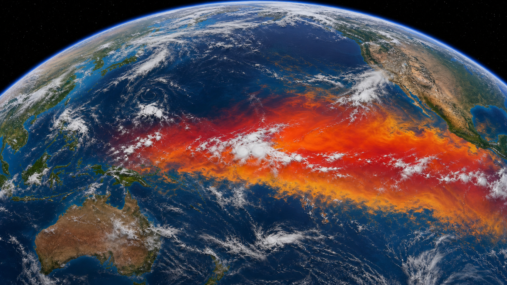
El Niño is already under way, and WMO expects a strong phase during July-September 2026. NOAA gives it a 97% chance of lasting into early spring 2027 and an 81% chance of becoming very strong in October-December.
The change is already under way
El Niño is already under way and strengthening quickly. The World Meteorological Organization expects it to reach a strong phase during July-September 2026. NOAA’s 9 July assessment also found clear signs that the tropical Pacific Ocean and atmosphere are changing together.
What 97% and 81% mean
NOAA highlights two probabilities: a 97% chance that El Niño persists into early spring 2027, and an 81% chance that it becomes very strong during October-December 2026. The latest Niño-3.4 temperature was 1.2°C above normal, while WMO expects seasonal anomalies above 2°C in some key regions.
Why impacts differ by region
The 97% figure is the probability that El Niño continues. It is not a 97% probability of flood or drought in a particular city. El Niño changes the odds of drought, heavy rain, heatwaves and marine heatwaves differently by region and season. Conditions in the Indian and Atlantic oceans can strengthen or weaken those effects.
What to check now
A global outlook cannot replace a local forecast. Readers should follow seasonal updates and hazard guidance from their national meteorological service. Flood-prone communities can review drainage and emergency plans; farmers and water managers can check rainfall outlooks; people vulnerable to heat can review heat-health guidance.
The 13 August update and official sources
The next key checkpoint is NOAA’s ENSO diagnostic update scheduled for 13 August 2026. WMO provides the global multi-model outlook, while NOAA explains the 97% and 81% probabilities. NOAA GFDL’s SPEAR system projects an even stronger event, but it is experimental and must not be treated as a guaranteed forecast.
WMO global seasonal climate outlook